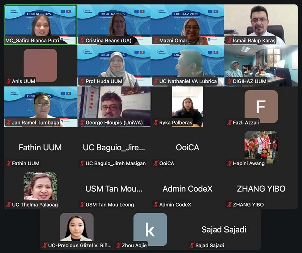
The digital stage of the DigiHaz Summit, held online via Zoom on 24 September 2025, showcased groundbreaking research from the Civil Engineering Department and the SD Service-Learning Program. Organized by the Malaysian partners of the SCOPE-HE project comprising researchers from Malaysia, Cambodia, Greece, Spain and the Philippines, the event brought together students, professionals, researchers, and scholars in disaster management. It featured research presentations, and a workshop on digital transformation for natural hazards, showcasing how innovative mapping technologies and smart solutions are reshaping our understanding and response to disasters. Two papers, focusing on the intersection of technology, community engagement, and environmental hazard mitigation, were presented to a global audience.
Enhancing Geomatics Education
The first paper, titled "Bridging Theory and Community: Enhancing Geomatics Education for Civil Engineers Through a Service Learning Pedagogy," was presented by a team of researchers including Jefferson R Vallente Jr, Paulyn Erica M Porras, Victoria Melissa C Pulido, Jungie J Caja, Gem Kevin S Estimos, and Maeray Franzie R Roa. This research highlights a novel approach to civil engineering education, moving beyond traditional classroom learning.
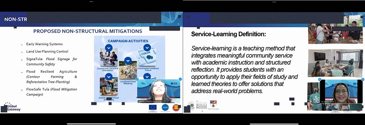
The paper outlines a service-learning pedagogy, a teaching method that integrates meaningful community service with instruction and reflection. By applying geomatics principles—the science of gathering, storing, processing, and delivering geographic information—to real-world community problems, students can deepen their understanding of theoretical concepts while addressing societal needs. The authors argue that this approach not only improves technical proficiency but also fosters a sense of social responsibility and civic engagement among future civil engineers.

Modeling Soil Erosion Hazards
The second paper, "A Digital Framework for Modeling Soil Erosion Hazards and Mitigation Scenarios in the Bubunawan River Watershed, Philippines," was presented by another research team: Venus Marie T Pantonial, Paulo Leo Inting, Wilt Marco S Eslit, Icy J Medrano, Zeus Rhandhel M Damasco, and Jefferson R Vallente Jr. This study provides a crucial tool for environmental management and disaster preparedness.
Using geospatial technologies and digital modeling, the team developed a framework to assess and visualize soil erosion risks within the Bubunawan River Watershed. The framework simulates various mitigation strategies, allowing local authorities and stakeholders to make informed decisions about land use, reforestation, and infrastructure projects. This research is particularly vital for the Philippines, a country frequently affected by typhoons and landslides, as it offers a proactive way to manage natural hazards and protect vulnerable communities. The use of a digital framework makes the data accessible and understandable, bridging the gap between complex scientific data and practical, on-the-ground application.