General Objective:
To define the level of connectivity of the three: uplands, rivers, and bays in terms of sedimentation and other processes that may have impacts on the marine and coastal habitats and formulate recommendations for appropriate interventions in all areas involved.
Significance and Relevance to the Community
Sedimentation is affecting adversely many of our coastal areas and resources because sediment loading alters the environmental condition of the marine habitats and even directly harm the organisms and plants on the site. However, our knowledge about the extent of impact and the specific responses of ecosystems to the threats based on science is also nil. It is therefore important to conduct a research study to address this concern and so as to profit science-based information about the impact and to recommend more accurate adaptive and mitigating measures for a better management of the bay and its resources. Well-researched study will generate information to help managers and planners in the prioritization of sites to be rehabilitated, proper selection of habitats to be managed, and employment of creative and enabling mechanisms to regenerate marine resources. All these hopefully will redound to increase production of marine products for the human consumers. Further, proper identification of critical soil erosion prone areas on the upland can help mitigate disaster risks to communities. Data collected from assessment of soil loss are relevant inputs to improve management of the watershed areas in terms of land uses and resources protection. In the end, the study hopes to be able to help shed light on how best to have a sustainable and integrated management of the upland and coastal environments despite existing limitations.
Accomplishments
- Pre-Sendong data results of the biological, chemical, and sediment profile of Cagayan River
- Statistical analyses and presentation of the data according to each set of objectives.
- USLE (Universal Soil Loss Equation) maps of Cagayan River Watershed in terms of vegetation cover, topography, rainfall, and soil types (with XU-GIS).
- Collected data results on rain and river gauge measurements for 8 successive months
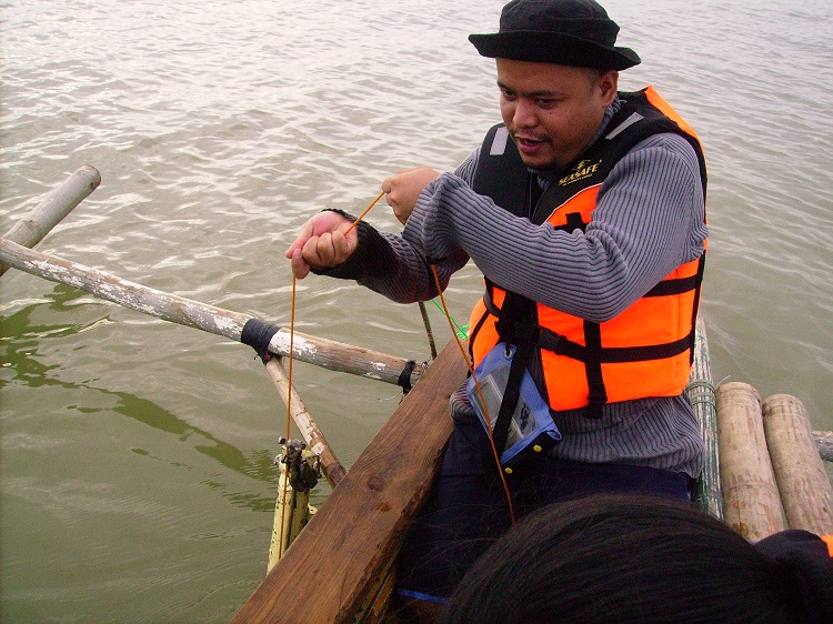
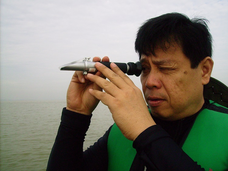
- Conducted reconnaissance surveys and plume samplings in Macajalar Bay from October to January.
- Generated GIS maps on plume cover for each sampling month (with XU-ERC)
- Conducted Sociological field survey and discussions and organized data results in matrices.
- Workshop and field sampling on Mineral Recovery