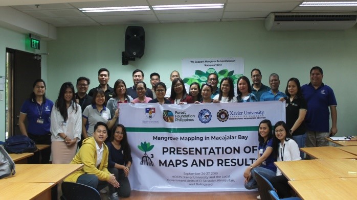
Xavier Ateneo's McKeough Marine Center (MMC) and Engineering Resource Center (ERC) conducted the public presentations and consultations for the newest GIS-based mangrove maps of the 14 local government units along the Macajalar Bay in El Salvador, Kinoguitan and Balingasag, Misamis Oriental, held from September 24 to 27.
The last presentation was held at the XU Main Campus. The presentations were attended by officials and representatives of local government offices, national government agencies, coal-fired power plant corporations, fisherfolk organizations, community groups, Forest Foundation Philippines, Macajalar Bay Development Alliance, and Xavier University community members.
The aim of the presentations was to get the comments and suggestions of participants from different local stakeholders for the final validation of the maps.
The mangrove maps were a product of a year-and-half collaborative work of the two college-based research centers.
The field assessment results consisted of the ecological profiles of existing mature mangroves, newly-planted, and potential planting sites and the biophysical parameters of the mangrove sites. All the mangrove information from the fields served as inputs on the GIS-based maps which will be accessible online and be made available in print copies.
The maps contain the basic information about mangroves in Macajalar Bay such as the geographical location, estimated canopy cover, species composition and diversity, frequency count, basal area, sapling count, and substrate type, among other features.
The maps will serve as reference and guide of mangrove planters to locate the potential planting sites and to know the right species of mangroves suitable for the sites.
The project aims to initiate the conservation, enhancement, rehabilitation, and management of mangroves in Macajalar Bay.
Large healthy mangroves increase fish production for the people, protect coastal areas from waves and erosions, lessen impacts of global warming on the earth, generate money from ecotourism, and serve as habitat of various fauna.
The project dubbed “Mangrove Mapping in Macajalar Bay (M3)” is funded by Forest Foundation Philippines and implemented by McKeough Marine Center of the College of Arts and Sciences and the Social Development Cluster of Xavier University.∎
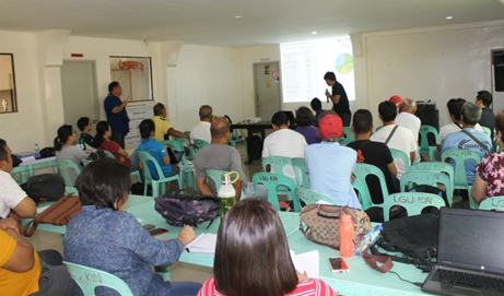
Public presentations of mangrove maps in Kinoguitan, Misamis Oriental. Supplied photo.
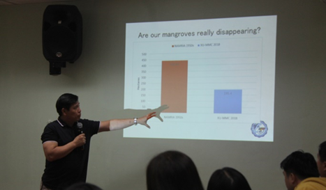
Fr Mars P Tan SJ, project leader, leads the public presentation of mangrove maps and results in Xavier University. Supplied photo.
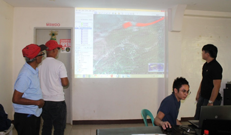
Map validation with local fisherfolks led by Chev Duay (research assistant) and Agustini Paduganan of ERC. Supplied photo.
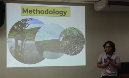
Rad Edulan, a research assistant of the project, explains the project methodology. Supplied photo.
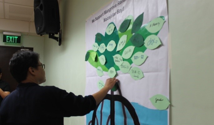
Elaine Villaluz, study leader, posts her personal pledge to support the advocacy. Supplied photo.