From 28-30 October, 2024, a three-day intensive Geographic Information System (GIS) training was held at Xavier University Ateneo de Cagayan’s Audio-Visual Room 8 (AVR 8). The training was funded and organized by Simmons Consult in partnership with the Xavier University-McKeough Marine Center. The goal was to introduce participants to the basics of GIS using Q-GIS, a leading open-source GIS software. The session, led by Mr Rylle Adrianne Galvez, MSc., provided attendees with a thorough understanding of GIS concepts and practical skills for spatial data analysis, map-making, and land and water cover assessments.

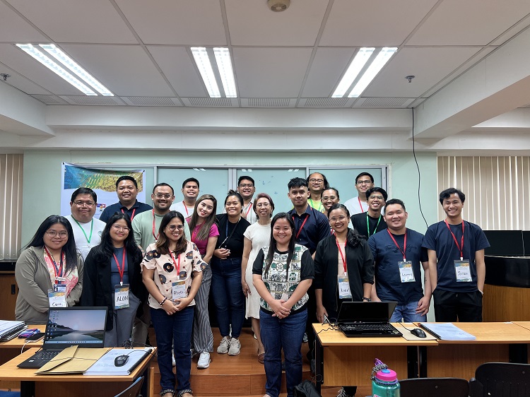
Group photo after the 3-day GIS mapping workshop.
The workshop drew a wide range of participants from across Mindanao and Palawan, including representatives from universities in Northern Mindanao, non-governmental organizations (NGOs), local government units (LGUs), and other sectors involved in environmental management, planning, and development. The diverse backgrounds of the attendees contributed to enriching discussions, bringing unique perspectives to the learning process.
The topics covered were diverse, ranging from data management and map design to land cover and water cover analysis. By the end of the training, attendees were equipped with the skills to perform spatial analysis, create accurate maps, and conduct land and water assessments using Q-GIS.
The three-day training on basic GIS using Q-GIS, funded and organized by Simmons Consult in partnership with Xavier University-McKeough Marine Center, was a resounding success. Mr Rylle Adrianne Galvez’s expert instruction and the practical, hands-on training made complex GIS concepts accessible to participants, empowering them with the skills to use Q-GIS effectively.

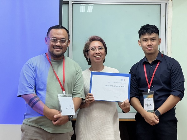
Mr Rodolfo Romarate II and Mr Rylle Galvez awarding the certificate of appreciation to Dr Astrid
L Sinco after her talk on the Application of GIS to Ecological Management.
By the end of the workshop, attendees were not only proficient in the basics of GIS but also capable of applying the tools and techniques learned in real-world scenarios, from land and water cover analysis to the creation of detailed and informative maps. The training served as a stepping stone for those interested in pursuing careers or further studies in GIS and spatial data analysis, contributing to the growing demand for GIS professionals in various fields such as urban planning, environmental science, and disaster management.