By Kristine Galarrita, Ria Duana Roble and Czarmayne Escoro
One of the major plans of the Macajalar Bay Development Alliance (MBDA) for the year is the delineation of the municipal waters of its 14 member-LGUs. The plan was brought up since the municipal waters in Macajalar Bay are still not properly delineated which may result to boundary conflicts in terms of planning and development of the areas, restriction of fishing activities and even encroachment of commercial fishers. The LGUs cannot freely establish zones within their respective municipal waters because there is no concrete jurisdiction of the boundaries, thus, delineation of the municipal/city waters is greatly needed.
On October 14-18, Engr. Aaron Andro V. Ching and Mr. Edyson P. Henson from the Hydrography Department of the National Mapping and Resource Information Authority (NAMRIA) conducted field validation of the coastal terminal points of each municipality/city in Macajalar Bay. They were accompanied by the Program Manager of the MBDA, staff from McKeough Marine Center (MMC) and the respective officials representing the neighboring LGUs. NAMRIA will soon send the revised technical descriptions and maps for the approval of the concerned LGUs through their local chief executives. If all the LGUs agree, Macajalar Bay will get its certification for its municipal waters from NAMRIA giving the member-LGUs the authority and accountability in spatial terms.
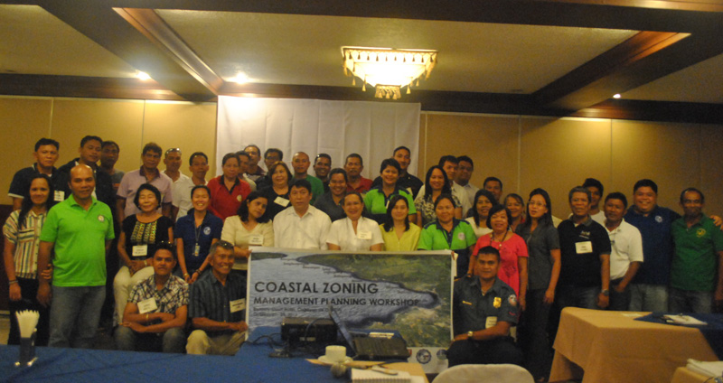
A follow-up activity of the MBDA is the coastal zoning management and planning workshop conducted last October 21-25 by the DENR Protected Areas, Wildlife, and Coastal Zone Management Services (PAWCZMS). The presence of several industries, ports, coastal road development and pollution from domestic and industries cause habitat damage and resource degradation leading to resource use conflicts in Macajalar Bay. Coastal zoning provides integrated planning framework to minimize resource use conflicts that threaten the marine environment’s sustainability. Each LGU identified its different resources and established its proposed zones (restricted, exclusive, multiple use, waterfront, restoration, protected area, and ecotourism). The LGUs agreed to use uniform codes and legend for their individual coastal zones which would also be used for the bay-wide map. The creation of Macajalar Bay and municipal/city coastal zone maps will assist the coastal users and different stakeholders in the planning and management of the coastal areas.
The two MBDA-organized activities is funded by the Deutshce Gesellschaft Für Internationale Zusammenarbeit– Adaptation to Climate Change in Coastal Areas (GIZ-ACCCoast) and made possible with the assistance of the XU-MMC. These endeavours will contribute to the protection and conservation of the coastal habitats and resources of Macajalar Bay.
Photo Gallery:
https://www.xu.edu.ph/xavier-news/23-2013-2014/1038-municipal-city-water-delineation-and-coastal-zoning-of-macajalar-bay#sigFreeId5e8151b506