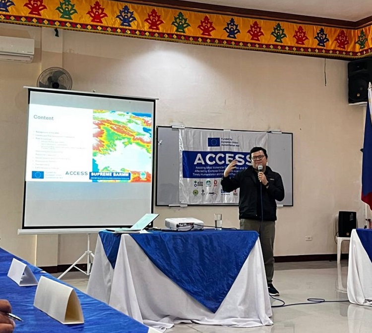
The Mindanao River Basin Landscape Risk Assessment is a comprehensive study that goes beyond mere data to tell a compelling story of communities grappling with environmental and socio-political challenges while striving for resilience. Through extensive community engagement and transect walks, the study provides a clear picture of the on-the-ground issues.
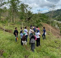
The study’s narrative highlights the stark reality of increased flood and landslide risks driven by environmental degradation. In Dangcagan, Bukidnon, transect walks revealed how the loss of primary forests over decades, unsustainable practices like slash-and-burn agriculture, and rapid urbanization have severely damaged the basin's natural ability to manage water. Deforestation has reduced water infiltration and increased runoff, leading to more severe flooding and significant soil erosion. This erosion on steep slopes has even created new landslide-prone areas that were previously unrecorded, emphasizing the need for updated land management practices.
The water quality of the Pulangi River system is also deteriorating, with evidence of rising fish kills, a decrease in aquatic biodiversity, and higher turbidity. These issues are primarily linked to agricultural runoff, industrial discharges, and increased sediment loads from soil erosion, which can lead to harmful algal blooms and anoxic conditions that threaten both ecosystems and local livelihoods.
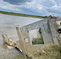
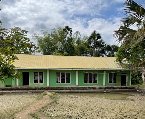
Beyond environmental factors, the study reveals how socio-political and economic vulnerabilities significantly worsen the effects of natural hazards. For example, in Bagoenged, Pagalungan, residents face recurring and devastating floods that damage houses and reduce farming activities. Pervasive poverty and marginalization, particularly among Indigenous Peoples, are deepened by conflict-induced displacement, land grabbing, and discrimination, which severely limits their ability to withstand and recover from disasters. Conflict also weakens governance, erodes trust in the government, and restricts access for disaster risk reduction and humanitarian aid. The destruction of infrastructure and social cohesion due to prolonged conflict further cripples collective disaster response, creating a cycle where environmental degradation and conflict reinforce each other's vulnerabilities.
The project also identified significant challenges in monitoring, forecasting, and response efforts. Despite existing monitoring stations and formal DRRM structures, gaps remain. In Cotabato City, for instance, the threat of flooding is intensified by the inconsistent functionality of Early Warning Systems across the basin, with many stations being non-operational due to incomplete installation or lack of user training. The absence of a central disaster database leads to fragmented information, underreported impacts, and a fragile institutional memory. Furthermore, coordination gaps and overlapping roles among different government bodies result in fragmented policies, delayed responses, and limited local empowerment.
The findings of the Mindanao River Basin Landscape Risk Assessment serve as a powerful call to action. The project highlights that resilience is not built alone but requires inclusive systems, empowered communities, and sustained cross-sector collaboration.