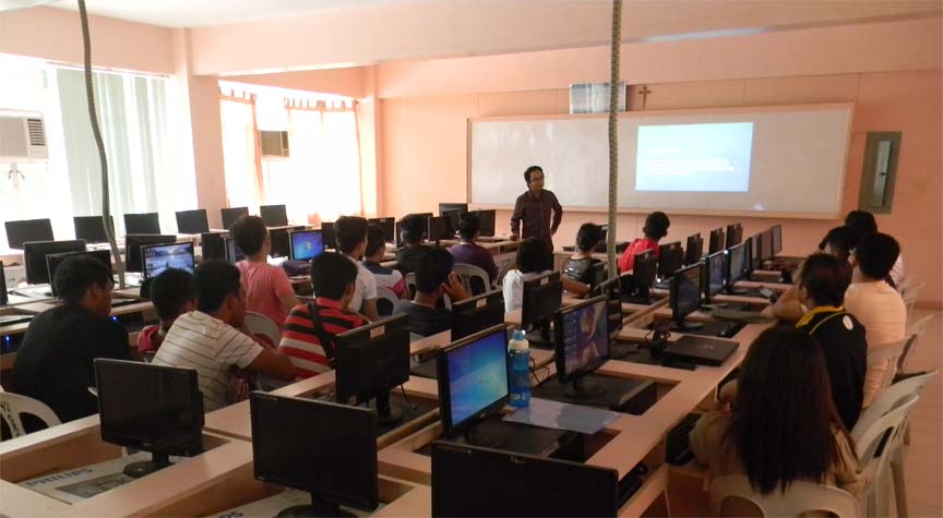
A faculty member of Xavier University’s Computer Science department conducted a seminar-workshop on Geographic Information System (GIS), as part of the IT Days celebration of Christ the King College in Gingoog City, Sunday, Feb 28.
Joshua Karlo T Arban, who teaches "Fundamentals of Programming, Data, File and Object Structure" at XU, discussed on the fundamentals of GIS, uses of GIS, parts of GIS, its data types and models, and geographic coordinate systems, among others.
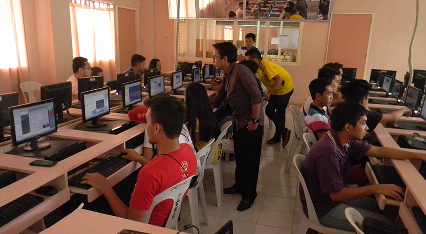
The seminar-workshop also included a hands-on exercise with Quantum GIS (QGIS) on creating a basic map based on the information of Gingoog City extracted from the Philippine GIS Data, including styling the map based on its attribute data and publishing it with the appropriate map elements.
The afternoon session covered Georeferencing an aerial image taken from Google Earth and importing it to QGIS, and assigning it to its accurate geographic coordinates.
Participants created their own shapefiles and features using lines, points and polygons based on the georeferenced aerial image as their output.
Arban also introduced Geoprocessing, an application that automates GIS tasks. Using Geoprocessing tools, such as clip, and dissolve, the participants were able to detect stores that are within the 20-meter radius of Christ the King College.
GIS TOOLS. Joshua Karlo T Arban, a faculty member of XU’s Computer Science department, conducts a hands-on exercise on the fundamentals and tools of Geographic Information System, as part of the IT Days celebration of Christ the King College in Gingoog City on Feb 28. Supplied photo.