Related Links:
- Mangrove Interactive Maps
- Mangrove Presentation of Blue Carbon research at FIMFS conventionPresentation of Blue Carbon research at FIMFS convention
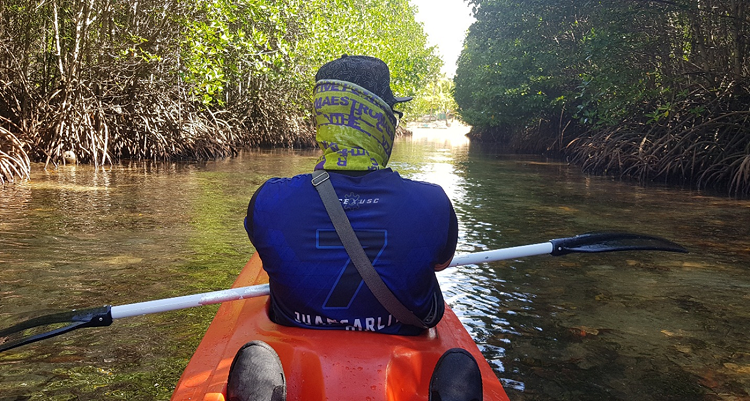
- Mangroves in the coastal municipalities of Macajalar Bay Misamis Oriental the various species identified and where they are found Mangroves in Macajalar Bay Set
- Mangrove Management Policies in the Philippines
- Physical land changes and mangrove loss and colonization in the 17 river mouths of Macajalar Bay Misamis Oriental 17 River Maps for Sedimentation
Duration: 26 February 2018 to 30 September 2019
Proponent: McKeough Marine Center, Xavier University
Funder: Forest Foundation Philippines (FFP)
http://www.forestfoundation.ph/
Rationale
In the Philippines, the loss of mangroves has been associated with the rapid expansion of aquaculture. This was demonstrated by a decrease in mangrove forest cover to almost half, from the 500,000 ha estimated in 1918.
Due to the important resources and services healthy mangrove ecosystems offer, mangrove rehabilitation has been a popular conservation initiative. Unfortunately, this has also included the indiscriminate ‘mangrove planting’ done by well-meaning groups without taking into consideration the mangrove species they are planting, which, in some cases may not be native to an area or the species may not be suitable for the substrate. This can result in either waste as many of the replanted mangroves will not survive or on the occasion of survival may cause a drastic and negative change in the ecosystem where non-native mangroves have been planted.
To complement the previous effort of MBDA of mapping mangrove areas in 2013, and to ensure mangrove survivability and overall cost-effective rehabilitation, the project aims to develop an updated, scientifically-sound bay wide database on mangrove forests in Macajalar Bay in the form of a comprehensive GIS-based map.
Specific Objectives:
- a) Assess existing and mature mangrove forests in terms of species diversity, cover/density (m²ha-1), height (m), geographical distribution, the presence of seedlings and stumps, and erosion or accretion.
- b) Assess newly-planted mangroves identified in the mangrove cover map of MBDA and assessed them using the same parameters used for mature mangroves.
- c) Validate potential mangrove sites identified in the mangrove cover map of MBDA by determining elevation/tidal zone position, tidal inundation, substrate type and characteristics and the corresponding mangrove species appropriate for the sites.
Expected Results
The primary expected outcome from this project is an enhanced bay-wide mangrove forest management and rehabilitation program. The main deliverable, a GIS-based map that contains ecological profiles of existing and newly planted mangroves and potential mangrove sites, will assist MBDA in the following areas, namely:
- ICM planning process, particularly in Phase I (Issue identification baseline assessment), IV (Monitoring and evaluation) and V (Information management, education, and outreach). Results of the ecological survey will update the current database and mangrove ecological profiles of each member-LGU, most importantly the associated threats and issues.
- Future mangrove reforestation initiatives, particularly in the selection of planting sites and the corresponding native species. As mentioned in the previous section, various organizations, mostly the environmental groups and private businesses, had tapped the MBDA for the conduct of ‘mangrove planting.’ With the GIS-based mangrove map, mangrove rehabilitation activities would be scientifically based, cost-effective and time efficient.
Institutionalization and Sustainability Mechanisms
Results of this project will be disseminated and presented to the MBDA member LGUs through public fora, training, and workshops. Moreover, XU through MMC will continue to monitor mangrove initiatives of the LGUs through a memorandum of understanding (MOU) between XU and the MBDA.